Engineering Topography & Geographic Information Research
Control Survey of Shangqiu Section of Shangqiu-Dengfeng Expressway
Jan 27,2021
Hits:-
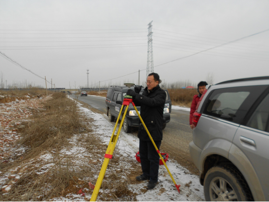
The Shangqiu-Dengfeng Expressway is an important part of the expressway network planning in Henan Province. It is connected to the Lianyungang- Horgos Expressway (G30), which has been opened to traffic in the east, and the Zhengzhou- Shaolinsi-Luoyang Expressway, which has been opened to traffic, in the west. The main feature of the control survey of the Shangqiu section of the Shangqiu-Dengfeng Expressway is that it has a large east-west span and an average altitude of 280 meters in the survey area. It adopts the national unified three-degree Gauss projection plane rectangular coordinate system. The projection deformation is large and cannot meet the needs of expressway construction. It is necessary to establish an independent highway coordinate system that meets the highway survey specifications. After the project was calculated in the 1980 Xi’an coordinate system, the program of the geodetic computing center of the National Bureau of Surveying and Mapping was used to calculate the belt change and raise the projection surface, and the results were converted to the highway compensation coordinate system used in this route. The project has achieved obvious economic benefits, time benefits and social benefits. The project won the second prize of 2013 Henan Province high-quality Surveying and Mapping Project (Achievement).

