Engineering Topography and Geographical Information Division
Engineering Topography and Geographical Information Division
Engineering Mapping and Geographical Information Division, founded in September, 2012, is a professional engineering mapping and geographic information research department pertaining to HNDI, which integrates scientific research, consultation and production.
It mainly carries out engineering surveying and mapping, real estate surveying and mapping, aerial photogrammetry and remote sensing, GIS Engineering Application and development, 3D lidar scanning measurement and data processing, 3D modeling, intelligent traffic, land planning, safety monitoring, emergency surveying and mapping guarantee and other comprehensive surveying and mapping services.
Business Advantages
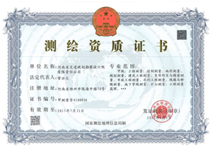
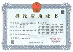
It has class-A qualification for engineering survey and supervision, and class-B qualification for real estate surveying and mapping, photogrammetry and remote sensing, GIS Engineering and supervision.
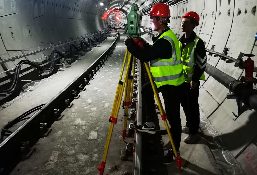
It has a solid foundation in the inspection work of highway, bridge, tunnel and other works. It has strong technical strength in internal and external work, and data processing for aircraft, UAV aerial photogrammetry and 3D lidar scanning survey, especially the application of 3D lidar scanning survey in highway exploration and design is in the leading position in Henan province.
Its research and development of geographic information system has technical advantages in highway, water transportation, aviation, postal service, safety, emergency support and other fields. We preserve 8 software copyrights and 1 technical patent and have prepared 1 local standard.
We have reconstructed and extended nearly 6000 kilometers of new expressways and highway, undertaken survey control and topographic mapping for hundreds of bridges, interchanges, tunnels and other works.